19% Off

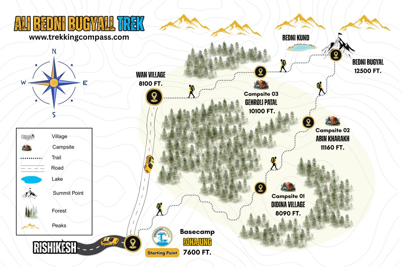
Route Length

Max Altitude

Trek Duration

Trek Difficulty

Base Camp Area

Pickup Point
10+ Years Age
First timer can apply, previous trekking experience is more appreciated.
Cover 5 km of distance in 30 minutes without a stress.
+917055048487, +917055048488
trekkingcompass@gmail.com
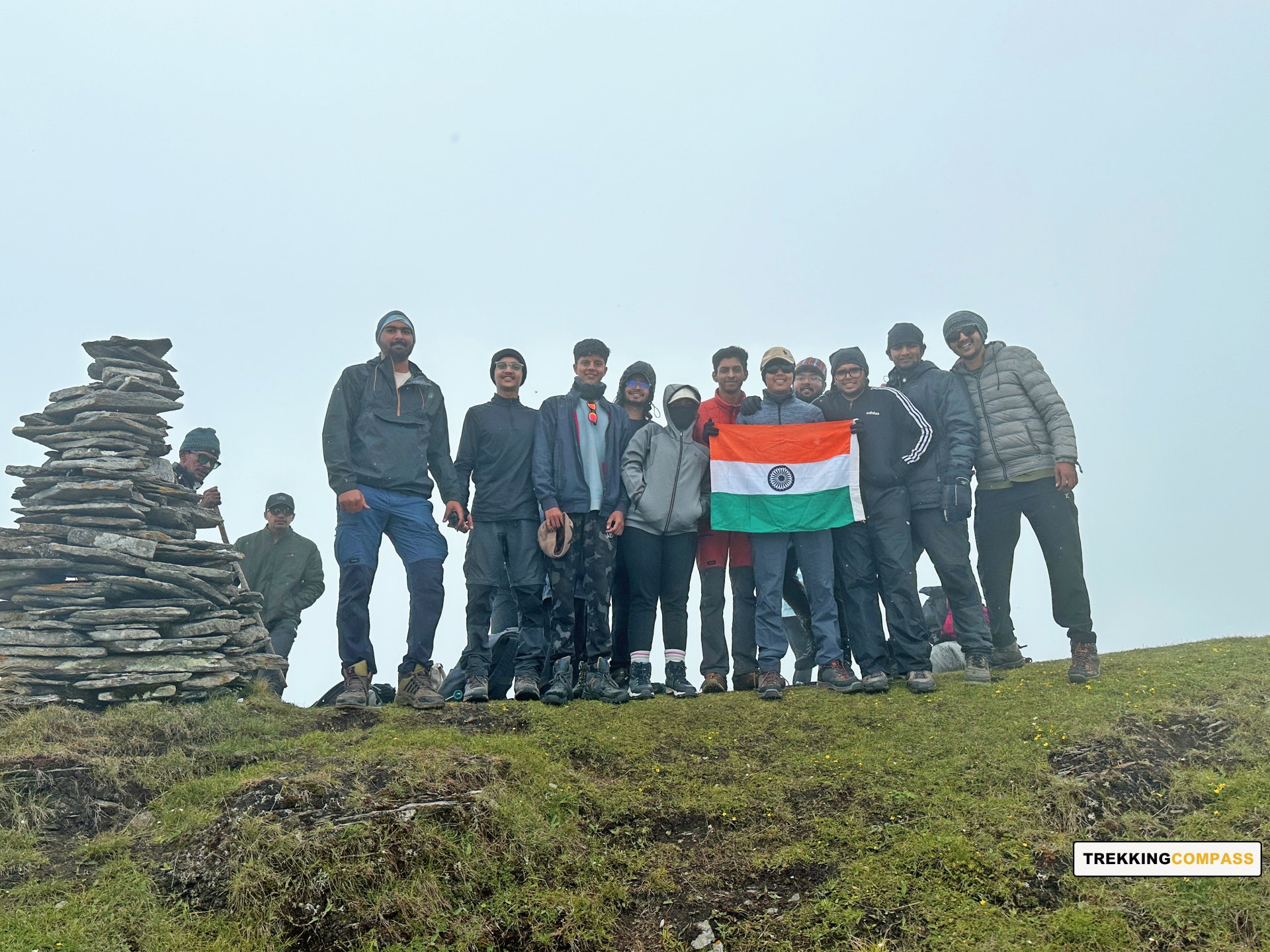
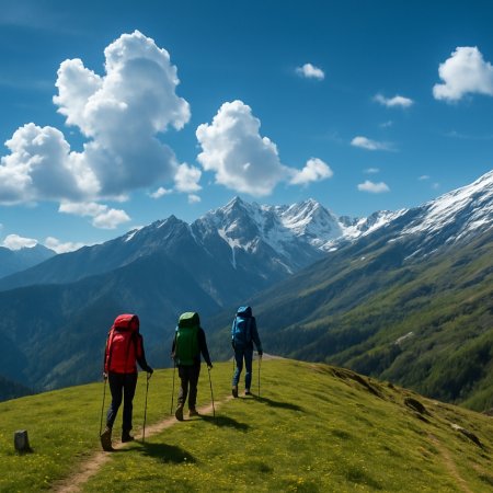
Ali Bedni Bugyal Trek starts with conquest in mind but ends with gratification in the heart. Popular among trekkers as Asia's largest meadow at the highest altitude, Ali Bedni Bugyal trek has more to offer. It vouchsafes nature, culture, religion, and history to whoever visits. This 28 km long trek has intrigued trekkers for ages and continues to do so.
The long-standing attraction of the Ali Bedni trek is the views it offers. It offers standout and magnificent views of Mt. Trishul and Mt. Nanda Ghunti. Unlike Dayara Bugyal, Ali Bedni Bugyals have limited views. Their complacency and distinction lie in the proximity and angles of the mountain views. Some trekkers with enough knowledge of the peaks can also identify Chaukhambha from Ali Bedni Bugyals.
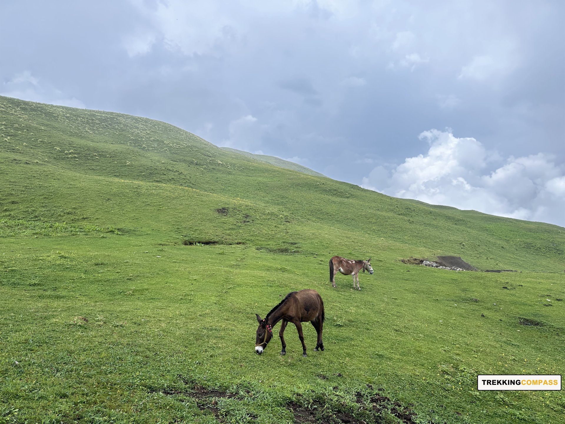
Atop these alpine meadows, trekkers can walk barefoot and feel the grassland forming the smoothest carpet. High altitude doesn't make them less of a grazing location for horses, sheep, cows, and goats. All these animals will be scattered on these folds and folds of twin meadows, extending from Ali to Bedni Bugyal. Once on these bugyals, many feel like running and rolling around. If you want to give into your raw and primal instincts, Ali-Bedni Bugyal Trek is a must.
Lohajung Altitude: 7,550 ft (2,316 m)
Altitude Gain: 6,430 ft (1,960 m)
Travel Distance: 260 km
Travel Hours: 10 to 11 hrs (approx.)
All trekkers will report at Rishikesh today. The serene journey will begin when you board your vehicles for Lohajung. Motion sickness might not leave some trekkers, but the views of River Ganga compensate for it.
The crinkling river water will lull you to sleep while the towering hills and mountains guard your way. For some trekkers, the pine trees lining the route will be an experience of a lifetime. Others will hold their breath on a sharp turn and a view at the endless sweeping valleys below the route.
After gaining an altitude of 1,960 m, you'll finally be at Lohajung. This beautiful and culturally rich village at 7,550 ft will welcome you wholeheartedly. The locals and the views from Lohajung ( place of war between Lohasur and Goddess Parvati) are heart-warming. Do not miss the sunrise and sunset here as Mt. Nanda Ghunti shines the brightest.
Didna Altitude: 8,090 ft (2,466 m)
Altitude Gain/Loss: 440 ft (134 m)
Travel Distance: 5 km + 6 km ( 11 km approx.)
Travel Hours: 1 hrs + 4 to 5 hrs (5.5 hrs approx.)
The day will start with a briefing for the 5.5-hour-long drive and trek from Lohajung to Didna via Kulling. You will board a vehicle for Kulling and reach there within half an hour. From Kulling, everyone will descend taking gradual and small steps to avoid pressure on their knees.
The rocky trail will bring you to an iron bridge over the Neelganga River. After crossing Raun Bagad Bridge, you'll ascend towards Didna village. This village is thriving at a tabletop and has lots to explore along with its mustard fields, old houses, and Himalayan cherry trees. These cherry trees blossom during spring adding a vibrant pink to the green and blue landscape of Didna village.
The Kulling village that you pass when coming to Didna is also called a winter village. Many villagers from Didna migrate to winter houses in Kulling village during winters. It's mostly because winters are warmer in Kulling village in comparison to Didna village. These houses at Kulling village are called “Sheetkaleen Ghar (शीतकालीन गृह)” or “Winter Houses.”
Abin Kharakh Altitude: 11,160 ft (3,401 m)
Altitude Gain: 3,070 ft (955 m)
Travel Distance: 9.4 km (approx.)
Travel Hours: 8 to 9 hrs (approx.)
Today starts with an ascent to Ali Bugyal. The villagers usually opt for a shortcut that is a very steep ascent. Another way is through the beautiful forest of oak, rhododendron, and deodar trees. On your way up, you reach Tolpani. You can stop here to rest and rejuvenate and get something to eat at the shepherd huts (chaniya) there. After this, you enter a dense forest section called the Tolpani Forests. The trees in this forest section change after every 15-minute trek into the forest. This forest section’s main attraction is the standalone rhododendron forest.
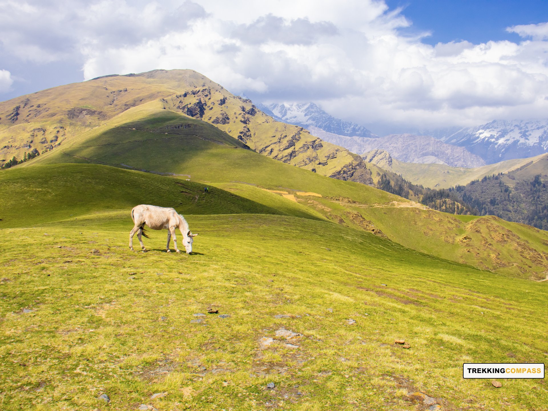
After the treeline comes to a sudden stop, the alpine grassland opens to you. You have fields and fields of lush green grass and moist soil extending to infinity. The meadows are carpeted with wildflowers and medicinal herbs. Some wildflowers scattered on Ali Bugyal are blue poppies, Brahma Kamal, and orchids.
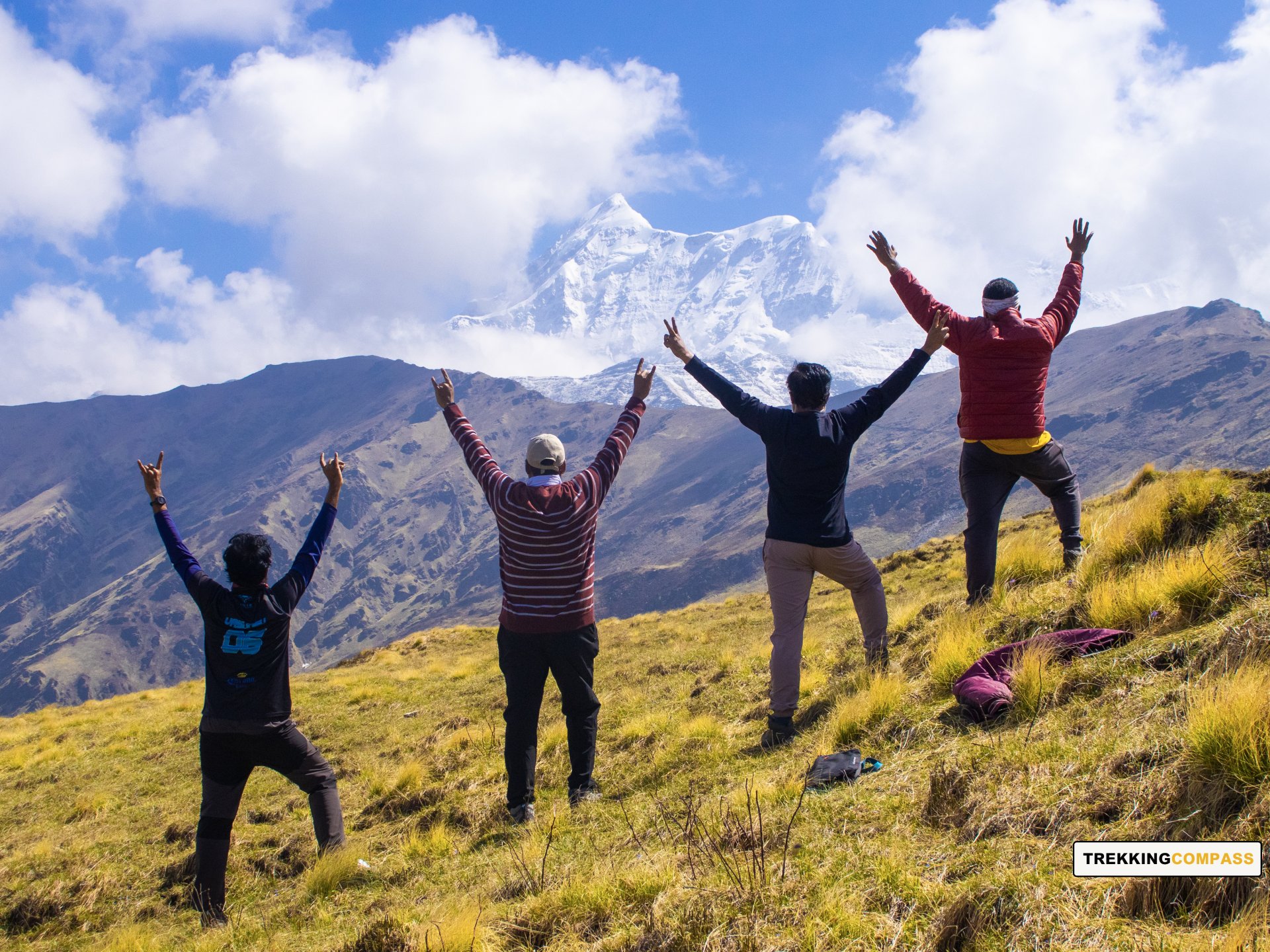
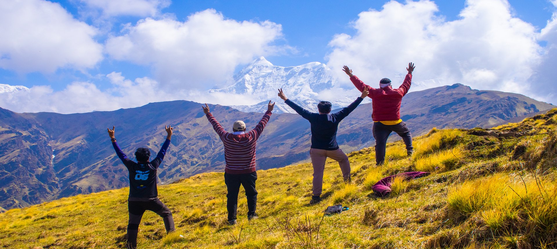
Ali Bugyal offers views of The Great Himalayan Ranges, especially Mt. Trishul (23,360 ft) and Mt. Nanda Ghunti (20,699 ft). Other peaks visible from here are Chaukhambha (7,138 m), Kedarnath (6,940 m), Kedar Dome (6,832 m), Avalanche (1,833 m), Kharchakund (6,612 m), and Mandani (6,193 m).
A straight walk with a gradual ascent on Ali Bugyal will take you to Ali Top (11,700 ft). Once there, some other views will open up to you. These are views of Bugchi Bugyal, Brahmatal top and ridge, and the Tolpani forest cover. From Ali Bugyal, at a 4 km distance, is Bedni Bugyal, its twin meadow.
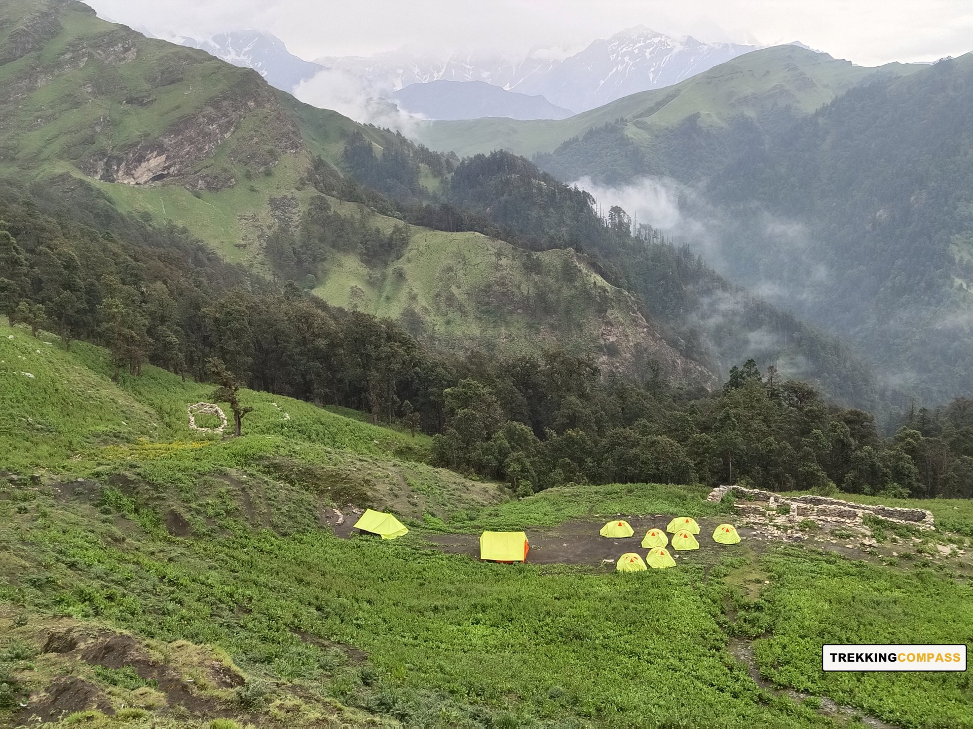
Gehroli Patal Altitude: 10,100 ft (3,078 m)
Altitude Loss: 1.069 ft (323 m)
Travel Distance: 5.5 km (approx.)
Travel Hours: 5 to 6 hrs (approx.)
Today, the trekkers will get treated to the grandest view of Mt. Trishul. ‘A few more steps and I'll be on Mt. Trishul,’ will be your exact words. You'll see the entire south face of Mt. Trishul. About 7000 ft to 8000 ft of the mountain opens in front of you and is a striking view.
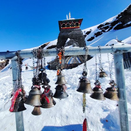
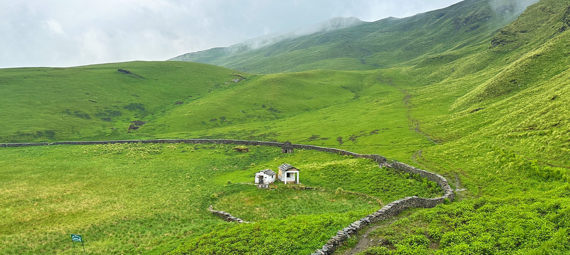
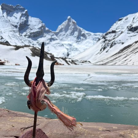
Bedni Top (12,570) offers views of Mt. Nanda Ghunti and Mt. Trishul, but Bedni Kund has something otherworldly to offer. The Bedni Kund waters show grandiose reflections of these peaks during spring and summer. It makes you want to camp, but camping is limited to the Gharoli Patal campsite. After paying your prayers at the Laatu Devta Temple and Maa Nanda Devi Temple at Bedni Kund (11,005 ft), you will descend to Gharoli Patal via Dolia Dhar Ridge.
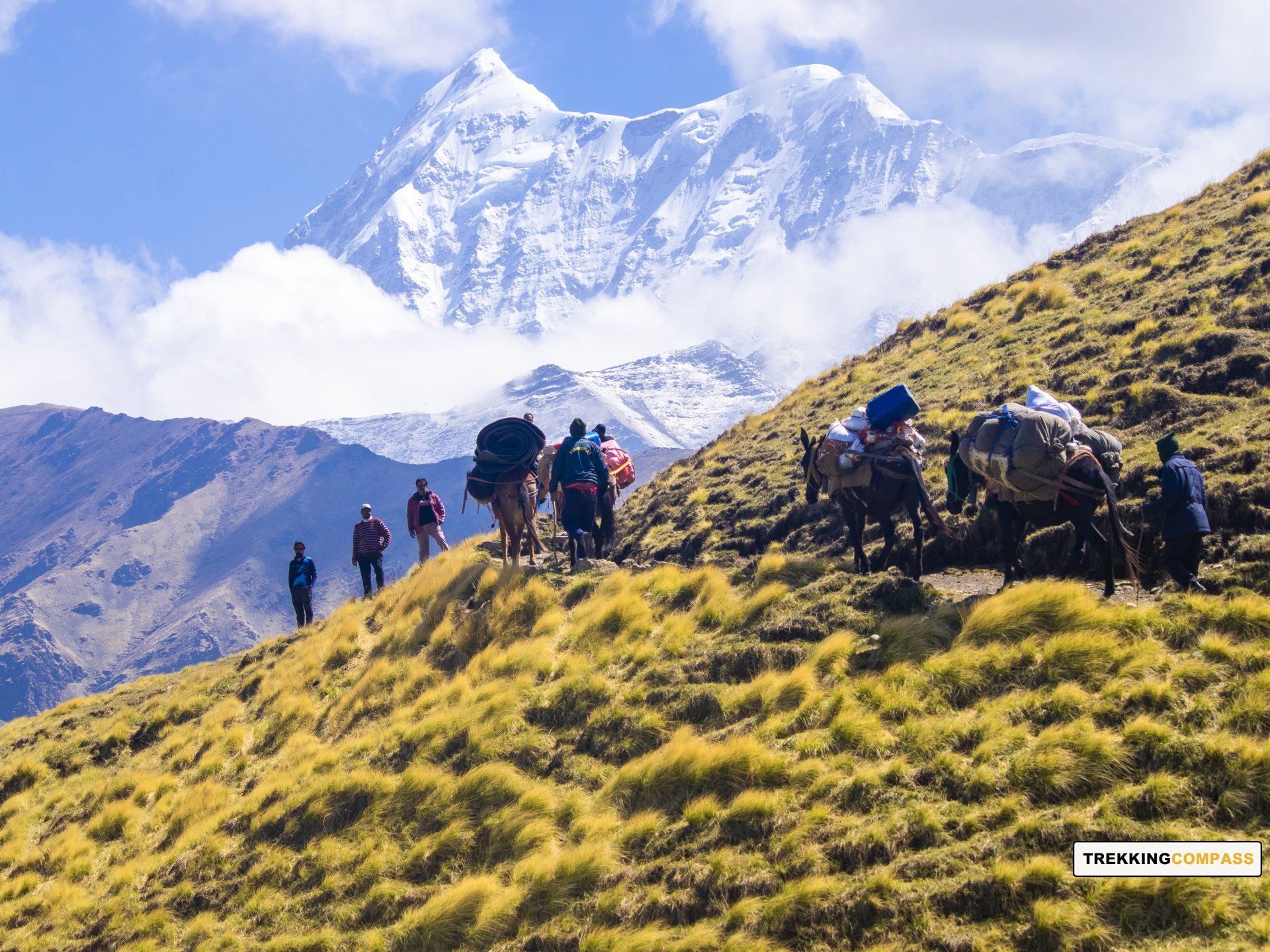
Abin Kharakh is connected to Bedni Bugyal by a trail above Abin Kharakh. Descending this trail, you reach a 3-way where you can descend to Bedni Kund, ascend to Bedni Bugyal, and walk straight towards Roopkund Trek. Bedni Bugyal is lush green and carpeted with wildflowers during spring. Winter casts a snow spell on these meadows, turning them white with knee-deep snow.
Bedni Kund trail is also where the Nanda Devi Raj Jat Yatra travels every 12 years. The Vaitarani Lake (Bedni Kund), as locals say, was created by Lord Shiva to satiate Maa Nanda Devi’s thirst. Around this lake, you can find wildflowers like Brahm Kamal (Saussurea obvallata).
Lohajung Altitude: 7,550 ft (2,316 m)
Altitude Loss: 3,020 ft (921 m)
Travel Distance: 6.4 km + 7.5 km (approx.)
Travel Hours: 7 to 8 hrs + 30 mins (approx.)
Today is another long and challenging day when you'll descend to Wan village. On your way down, the picturesque views of Ali Bedni Bugyal will flash before your eyes and make you smile in awe. Gharoli Patal campsite has incredible views and surroundings that'll accompany you till Lohajung.
The deodar, oak, and rhododendron trees make for beautiful forests over the trail to Neelganga. You'll soon reach Neelganga River, make this stop to rest and enjoy the Neelganga River. Take your time, listen to the sounds of the waters and give your mind and soul a well-deserved rest.
Once you cross the Neelganga, you will walk on Ran Ka Dhaar ridge and towards Wan village. This ridge with oak trees is a magical site during winter more than any other season. Further ahead on the trail, a forest section with tall oaks, appearing manicured, will engulf you. The alignment of these trees is a testament to the perfection called nature.
When you are 20 minutes away from Wan village, you'll see a gigantic Cypress tree. Try hugging it and you'll be humbled by the mingy nature of a human's existence. At Wan Village, you'll get a chance to visit Laatu Shrine Temple. He's the brother of Maa Nanda Devi who's believed to be married to Lord Shiva.
Rishikesh Altitude: 1,120 ft (340 m)
Altitude Loss: 6,430 ft (1,960 m)
Travel Distance: 260 km (approx.)
Travel Hours: 10 to 11 hrs (approx.)
After waking up to an electrifying sunrise on Mt. Nanda Ghunti, it'll be time to return from Lohajung. The way back has surprises of its own. Above all, you'll have memories of the Ali Bedni Bugyal Trek. The Abin Kharakh campsite, the Bedni Kund, and the Gharoli Patal campsite will all be fresh in your hearts.
Spiralling down the hilly route from Lohajung to Rishikesh, you'll pass Srinagar, Nagarsu, Kulsari, Deval, and Guachar. Some prominent locations you'll pass are Devprayag, Rudraprayag, and Karnaprayag. At these confluences, the Bhagirathi, Alaknanda, Mandakini, and Pindari rivers join to form the River Ganges. For our religious folks, we have Dhari Devi Temple, Vashishta Gufa Temple, Koteshwar Temple, etc.
Ali Bedni Bugyal Trek Elevation Chart & Route Map
Accommodation
Meals (Vegetarian only with eggs option available)
Nutritious meals from Day 1's dinner to last day's breakfast, following the itinerary schedule.
Expert Support
First Aid Preparedness
Fully equipped medical kit including a stretcher, oxygen cylinder, blood pressure monitor, oximeter, and stethoscope to ensure safety throughout the journey.
Storage Facilities :- A secure room at the base camp to store additional luggage not needed during the trek.
Permits and Entry Fees :- Coverage of all necessary permits and entry fees, in line with standard charges for Indian nationals.
Transportation :- A round-trip transport from the pick-up point and back at the same point as a part of the itinerary.
Trek Equipment
Insurance :- Personal insurance is mandatory and not included in the package.
Personal Expenses :- Any expenses of a personal nature, including shopping, snacks, hiring a mule or porter for carrying your belongings, or acquiring personal equipment.
Emergency Costs :- Expenses arising from emergency evacuations, hospitalization, or any medical treatments required.
Unspecified Services :- Any services or items not explicitly mentioned under the "INCLUSIONS" section.
Food Costs :- We will not cover any food costs during your transit to and from the base village.
Trekking is not only about enjoying the change of scenery but also about being responsible. Our (Trekking Compass) responsibility is to provide you with an opportunity for a safe trek. But, how do we do that? We do that when you fulfill your end of the responsibility and are honest with us. To keep you safe we need to be sure there isn’t any inherent threat to your being.
Treks are at higher altitudes and it becomes difficult, almost impossible to provide you with immediate medical assistance. Therefore, we cannot help you if you don’t help us. Trekking is only one of the things you can do, but there are plenty of other things to do too. Don’t risk your life for the thrill.
To approach a trek with utmost safety, we want you to submit the following documents:
Personal Confirmation Statement (Compulsory for anyone over 18 years)
You are participating in a trek at high altitudes and it comes with its own sets of risks. This Personal Confirmation Statement will make sure that you understand all the risks you're buying into. Trekking Compass wants you to confirm your complete understanding of these risks so that you come prepared for any mental or physical challenges ahead.
This statement is also a declaration from you that, "All the information I have provided, including medical conditions, is true. If found false under any circumstances, I will be held accountable and it has nothing to do with Trekking Compass."
We have the utmost empathy for you and will do our best to help wherever possible, but only after assessing your readiness and safety for the trek. This is how our team will adequately prepare for whatever risks we might face during the journey. Concerning individuals are requested to thoroughly cross-check the requirements and only then sign the document.
Parent/Guardian Approval Statement (Compulsory for anyone below 18 years)
For participants under 18 years of age, the Parent/Guardian Approval Statement is essential to confirm that a legal guardian understands and consents to the participation in the trek. Once we have this document, we are affirmed that the parent or guardian is fully aware of the risks involved in trekking at high altitudes and is consenting to their child's participation.
No underage (below 18+) children are welcome on the trek without their parent's consent. Submission of this document reassures us that parents are approving that their child meets the health and fitness requirements for the trek, after a thorough examination.
This legal confirmation holds the parent liable for any discrepancies, freeing Trekking Compass from any liabilities for the same. Parents are requested to thoroughly cross-check the requirements and only then sign the document.
Medical Liability Waiver
The Medical Liability Waiver makes sure participants acknowledge the health risks associated with trekking at high altitudes. Common ailments during treks include altitude sickness, dehydration, muscle cramps, hypothermia, and fatigue, all of which can significantly affect your trekking experience. Additionally, weather changes and the physical demands of the terrain may exacerbate pre-existing conditions.
If you have pre-existing medical conditions such as asthma, diabetes, or heart issues, it’s vital to inform us and carry your necessary medications. Trekking Compass cannot provide immediate medical assistance in remote areas, so having the essential medications, such as inhalers, insulin, or any other prescriptions, is crucial for your safety during the trek.
By signing this waiver, you confirm that you are in good health and have taken the necessary precautions. You acknowledge these risks and agree not to hold Trekking Compass liable for any medical issues or accidents that may arise during the trek.
For any further doubts about anything mentioned above, below is our contact information:
OFFICE ADDRESS: Lane No. 4 Krishna Vihar Mohkampur, Dehradun, Uttarakhand, 248005
PHONE NUMBER: +91 7055048487, 7055048488
EMAIL ADDRESS: info@trekkingcompass.com
HOW TO REACH ? (RISHIKESH)
Note: Keep a buffer day in your getaway in addition to the total days in the itinerary. This day will come in handy in case of any political unrest, landslides, or rains. If not, you can use the extra day to get to know Rishikesh. This means that for an itinerary ending on the 15th of a month, book your return tickets for the 16th.
What are the different ways to reach Rishikesh?
On the Ali Bedni Bugyal trek, our first long-day trip is from Rishikesh to Lohajung (260 km). Therefore, trekkers need to reach Rishikesh to start the trek. The first move to reach Rishikesh for any trekker is to reach either Dehradun or Delhi. Later, every trekker can choose their choice of transport. The available transports for Rishikesh are:
Medium: BUS
A Friendly Note: You should travel by government buses instead of private ones because the private buses tend to take more time than expected. To avoid missing the pick-up time, try traveling by government bus, wherever possible.
Medium: TRAIN
Medium: FLIGHT
Fly Directly to Dehradun and then to Rishikesh: To fly directly at Jolly Grant Airport Dehradun, there are multiple flights from metropolitan cities. The companies that facilitate these flights are:
Fly to Delhi then take a bus or train to Rishikesh: It’s very easy to fly to Delhi from anywhere in the country and take a bus to Rishikesh. You will find a detailed description of buses in the BUS section. The companies that facilitate these flights to Delhi are:
Note: Make sure that the mode of transport you choose should bring you to Rishikesh a day before Day 1, i.e., Day 0. You can fly to Delhi and Dehradun from Mumbai, Kolkata, Bengaluru, Chennai, Hyderabad, Pune, and to Dehradun from Delhi too.
What happens on the drop-off day
Here are the points that explain your drop-off:
Special Case: What if you miss our pick-up?
You shouldn't panic and follow one of the below-mentioned ways to Lohanjung:
| Backpack with rain cover / Trolley Bag | Main bag for gear. |
| Day pack with rain cover (20 - 30 L) | For day essentials, if the main pack is off-loaded. |
| Walking stick | Recommended (at least one). |
| Water bottle/ Hydration pack | 2 bottles (1L each) or 1 hydration pack and 1 bottle. |
| Snacks | Energy bars, dry fruits, ORS/electrolytes. |
| Personal Medical Kit | As prescribed by your doctor. |
| T-shirts (Synthetic, quick-dry) | 2 full-sleeve, 2 half-sleeve. |
| Fleece T-shirts | 2 pieces. |
| Wind-stopper / Fleece jacket (upper) | 1 piece. |
| Windproof jacket | 1 piece |
| Down feather / Hollow jacket | 1 piece |
| Thermal innerwear (Upper & Lower) | 1 set. |
| Trekking pants (Synthetic, quick-dry) | 3 pairs. |
| Wind-stopper / Fleece pants (lower) | 1 pair. |
| Waterproof gloves | Not required. |
| Fleece / Woolen gloves | 1 pair. |
| Poncho / Waterproof jacket and pants | 1 set. |
| Head torch / Hand torch | 1 piece. |
| Sun cap | Required. |
| Woolen cap | 1 piece. |
| Balaclava | 1 piece. |
| Buff/ Neck gaiters | 1 synthetic, 1 woolen. |
| Sunglasses | UV protection with side covers (for spectacle users: contacts or photochromatic lenses). |
| Trekking shoes (waterproof, high ankle, good grip) | 1 pair. |
| Floaters / Flip-flops | 1 pair. |
| Cotton socks | 4 pairs. |
| Woolen socks | 2 pair. |
| Sunscreen | 1 piece. |
| Moisturizer | 1 piece. |
| Lip balm/ Chap-stick | 1 piece. |
| Toothbrush and toothbrush | 1 set. |
| Toilet paper and wipes | 1 pack each. |
| Soap/ Hand sanitizer | 1 piece. |
| Quick-dry towel | 1 piece. |
The Ali Bedni Bugyal Trek is one of the most beautiful meadow treks in Uttarakhand, taking trekkers to the twin alpine meadows of Ali Bugyal and Bedni Bugyal. The word Bugyal in Garhwali means “high-altitude grassland,” and these meadows are among the largest in Asia. Located at around 3,500–3,600 m, they offer breathtaking views of peaks like Trishul, Nanda Ghunti, Chaukhamba, and Mrigthuni. What makes this trek special is not just the Himalayan panoramas, but also the rolling green pastures, centuries-old forests, and cultural richness of villages along the way. Historically, the meadows of Bedni have been used by shepherds and are linked with mythology — the Bedni Kund is considered sacred and is part of the Nanda Devi Raj Jat Yatra, one of Uttarakhand’s grandest pilgrimages.
The trek can be done in two main seasons:
The trek is considered easy to moderate, making it suitable for beginners who are reasonably fit. Unlike treks such as Bali Pass or Bagini Glacier, this one does not involve glacier crossings or steep climbs. The trail gradually ascends through forests, villages, and open meadows, making it more forgiving. The only challenge can be the long walking days of 6–7 hours and camping at higher altitudes, but with preparation, even first-timers can complete it.
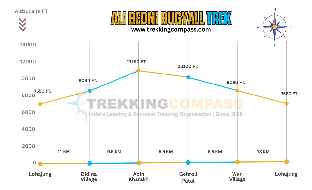
The trek covers around 29 km and usually takes 6 days including travel to and from the base camp. The journey begins from Lohajung village (the common base for Roopkund, Brahmatal, and Ali Bedni Bugyal), and trekkers pass through Didina village before reaching Ali Bugyal and Bedni Bugyal. Campsites like Abin Kharak and Ghairoli Patal make the journey scenic and well-paced.
The trek reaches up to 3,500–3,600 m (11,500–11,800 ft) at the highest points of the meadows. This altitude is considered moderate, so the risk of altitude sickness is low compared to high treks like Roopkund or Kedartal. However, trekkers may still feel breathless due to thinner air and should maintain hydration and a steady pace.
No. The Ali Bedni Bugyal Trek is beginner-friendly, making it an excellent choice for first-time trekkers. The trails are well-marked, and the altitude is not extreme. Families, school groups, and amateur trekkers often choose this trek to experience the grandeur of Himalayan meadows without taking on heavy challenges.
Basic fitness is enough for this trek. Trekkers should be able to walk 6–7 km daily with a backpack. Pre-trek preparation can include brisk walking, jogging, and stair climbing for at least 3–4 weeks. Since the trek has long walking days, stamina and leg strength are more important than speed.
The Bedni Kund, a small lake in the Bedni meadows, holds immense mythological significance. It is believed to be associated with Goddess Nanda Devi, and the sacred Nanda Devi Raj Jat Yatra — a pilgrimage that takes place once every 12 years — passes through this meadow. Pilgrims stop at Bedni Kund to offer prayers. According to folklore, the water of the kund has mystical properties, and the place is considered a holy site for purification before continuing the yatra.
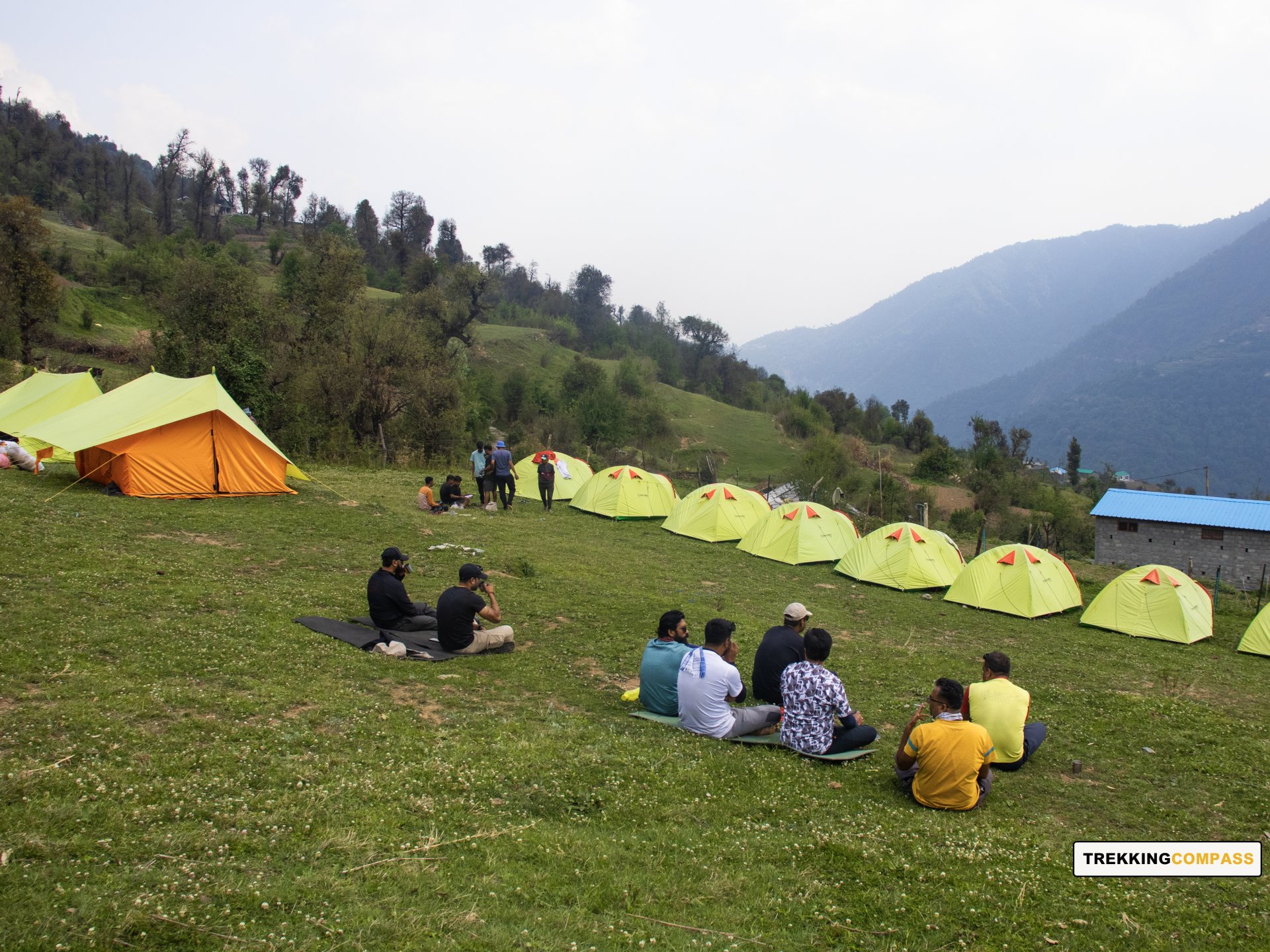
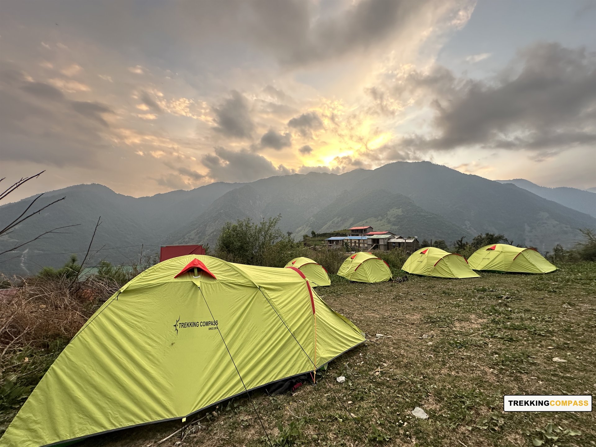
At the base village Lohajung, trekkers can stay in guesthouses or homestays. During the trek, accommodation is in tented campsites set up in scenic meadows or forest clearings. Each tent is shared by 2–3 trekkers and comes with sleeping bags and mats. Unlike commercial treks like Kedarkantha, there are no tea-houses on the route, so camping is the only option.
Yes. Forest permits are required since the trek passes through reserve forest areas and meadows that fall under Uttarakhand’s forest department regulations. These permits are usually arranged by trekking operators. Independent trekkers must ensure they get permissions from the forest office at Lohajung before starting.
The trek starts at Lohajung, which is around 220 km from Kathgodam or Haldwani. It takes 9–10 hours by road via Almora and Dewal. Lohajung is also the base for Roopkund and Brahmatal treks, making it a central trekking hub in the Garhwal region. The nearest railway station is Kathgodam, and the nearest airport is Jolly Grant (Dehradun).
Since the maximum altitude is 3,600 m, the risk of Acute Mountain Sickness (AMS) is very low. Most trekkers acclimatize easily. Still, keeping hydrated, ascending gradually, and listening to your body are important. Compared to treks like Roopkund (4,600 m), Ali Bedni Bugyal is much safer in terms of altitude.
Yes, it is one of the safest treks in Uttarakhand. The trail is well-established, campsites are scenic and secure, and it is not as remote as glacier treks. The main challenge can be sudden weather changes in the Himalayas, so trekkers must carry warm clothing, rain protection, and follow the instructions of trek leaders.
This trek is the perfect introduction to Himalayan trekking. It combines cultural immersion, natural beauty, and mythological depth in a relatively short duration. Unlike tough high-altitude treks, this one is gentle yet spectacular, offering the chance to walk across endless alpine meadows that seem to touch the sky. The blend of sacred mythology (Bedni Kund), panoramic mountain views, and the vastness of the meadows makes Ali Bedni Bugyal one of the most enchanting treks in Uttarakhand.
Handpicked routes with strong scenery, reliable pacing, and a premium featured block that still stands apart from the rest of the archive page.
Crafted routes, reliable execution, and a trekking experience that feels premium from planning to summit.
 Safety
Route checks, first-aid readiness, and trained leaders to keep every step confident.
 Routes
Better pacing, better camps, and real acclimatization designed for experience, not speed.
 Groups
Less crowd, more care so you enjoy the trek, not just finish it.
 Trust
Trust
Clear inclusions, no hidden surprises, and real human support on WhatsApp.